801.621.3100
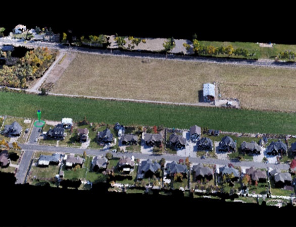
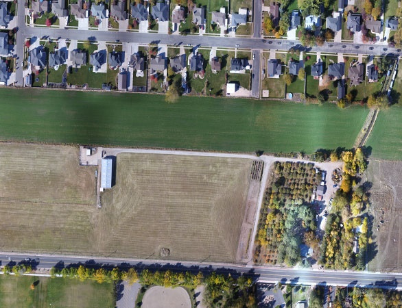
Reeve & Associates offers high definition mapping to meet all of your surveying, planning, construction and modeling needs. With services in aerial topographic surveying, site progression analysis, and aerial photography, backed by 3D point cloud technology, we can survey, map, track and manage all aspects of your worksite to help you gain insights as well as site analytics and a visual progression of your project.
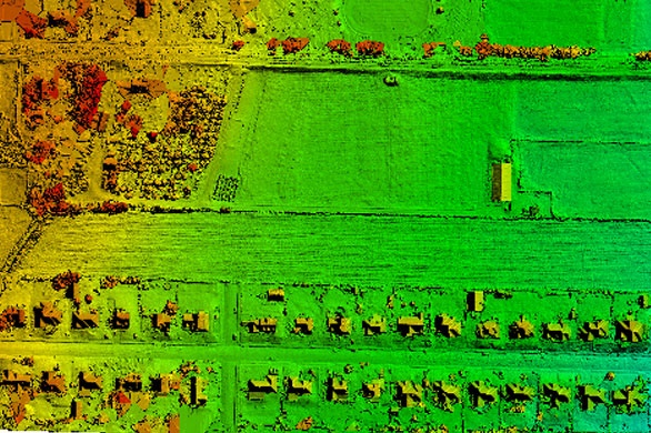
Our aerial surveying and mapping is supported by 3D point cloud technology to provide the utmost accuracy with millions of measurement points. Other benefits of this mapping technology include the ability to easily see changes in elevation, view, rotate or zoom into points of your survey in high-definition and gain a better understanding of the site conditions and archaeological features of your project. We handle all preliminary set up, safety checks, asset management and quality control and are licensed and insured to perform our work.
Reeve & Associates also offers aerial photography services to help you showcase your project. Our photography deliverables are valuable tools to help you display your project through print materials, legal documents, planning tools, presentation aids, or marketing materials.
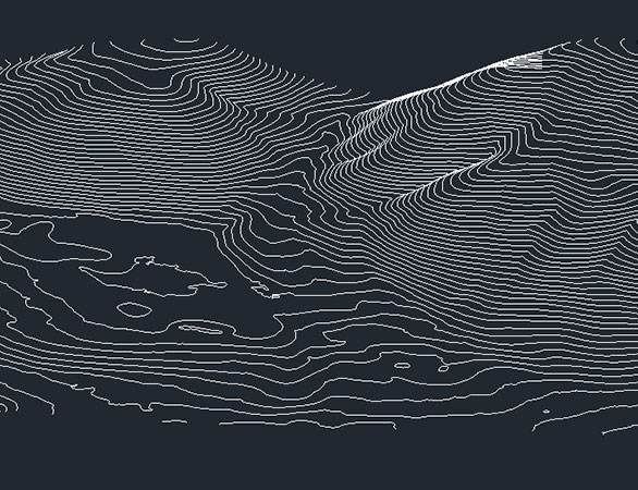
Generate a simplified representation of topography with closed contours displaying elevation.